
Moving when the river is up: how a wet week on the floodplain changes a Hawkesbury move
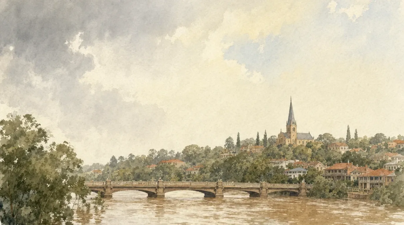
Most weeks, a Hawkesbury move is decided at the gate or on the street. In a genuinely wet week, there is a third thing to read: the river. The Hawkesbury-Nepean is one of the most flood-prone valleys in the country, and the way it floods means a moving day that falls in the wrong week becomes a question of roads and timing rather than boxes and furniture. The good news is that it is a known, plannable thing, and most of the time it changes nothing at all.
The valley fills like a bathtub
The reason this matters here and not in most places is the shape of the valley. Rivers usually widen as they near the sea. The Hawkesbury-Nepean does the opposite, narrowing into sandstone gorges downstream, so the NSW SES describes it as a bathtub with five taps and one plughole: five major tributaries pour water in, and only a narrow outlet lets it back out. Water arrives faster than it can leave, so it backs up and rises fast. The SES warns there can be only a few hours between heavy rain and being told to evacuate, and that in most cases you will not see floodwater in your own neighbourhood before that point.
This is not new, and it is not a reason to be nervous about living here. It is simply why Governor Macquarie laid the five towns out on the high ground in 1810, after the floods of 1809 had washed away the riverside farms. Windsor, Richmond, Pitt Town and Wilberforce sit where they do precisely because someone, two centuries ago, read the river correctly. The elevation still tells the story today: McGraths Hill sits at about twelve metres on the flat river plain, while Kurrajong is well up the ridge at over a hundred and forty.
The bridges go before the water does
For a move, the part that actually bites is access, not depth. The valley is crossed by the river in only a couple of places, and those crossings are the first thing to go. The SES advises that the bridges at Windsor, North Richmond and Yarramundi flood and close, sometimes for several days or more than a week, and that some routes cut early even in relatively small floods. Their other warning is the one that catches people out: a suburb can become an island, isolated by water on the roads around it, while the suburb itself stays perfectly dry.
That changes the maths of a move. A truck loaded at North Richmond and bound for Windsor has to cross the river. If the crossing closes between the load-up and the drop-off, the truck, the crew and your whole household are stranded on the wrong side until the bridge reopens, which could be days. The furniture being dry is no comfort if it is dry on the far bank.
Which moves a wet week actually touches
Not all of them, and that is the useful part. The valley is not one flat sheet of risk. The crossings matter most for a move that has one address on each side of the river, so the runs between Richmond and North Richmond, or anything reaching the Windsor bridge by way of Wilberforce, are the ones we sequence carefully when a warning is live. A move that stays on one side, say within South Windsor or up around Kurrajong, never touches a bridge and is largely unaffected by anything short of the roads themselves cutting.
Elevation tells you the rest at a glance. The low river-flat ground, around Windsor town and the McGraths Hill plain, is where road access can soften and close first. Higher up, the estates at Bligh Park and the ridge country toward Kurrajong are out of the floodwater entirely and only feel a big event through the routes in and out. So when we ask for both addresses and your date, the river is one of the things we are quietly reading, the same way we read a gravel drive or a heritage kerb.
What we actually do about it
None of this is guesswork on the day. We read the same official sources the SES does, and we read them before we commit.
- We watch the warnings, not the weather. The Bureau of Meteorology issues flood watches and warnings for the Nepean and Hawkesbury rivers, and the SES issues the road and evacuation advice. A flood watch in an ordinary week is background noise and changes nothing. An active warning with the crossings about to close is when we pick up the phone.
- We keep loaded runs clear of the crossings. If your move crosses the river in a wet spell, we sequence the day so the truck is not sitting in a bridge queue or, worse, caught the wrong side of a closure. Sometimes that means going early; sometimes it means a different order of work.
- We move the date before we take the risk. A flood-driven reschedule is a safety call, not a cost. We would far rather shift your day by forty-eight hours than gamble your belongings and our crew on a bridge that might shut behind us. We tell you the plan ahead of move day, every time.
Worth knowing for the long run
Separate from move day, it is genuinely useful to know where a property you are buying or renting sits. Hawkesbury City Council issues a Flood Advice Certificate that sets out a specific property’s flood risk and levels. It will not affect a single ordinary move, but if you are weighing up a place on the lower river flats, it is the honest, authoritative answer rather than a guess from the street.
For the great majority of moves, in the great majority of weeks, all of this stays in the background and the day runs like any other. The point of knowing it is so that the one wet week in a hundred does not catch your move out. When you are ready, get a quote and tell us your two addresses and your date. We will read the river along with the gate and the street, and tell you plainly how your day runs.
Common questions
Why does the Hawkesbury flood so much faster than other places?
Because of the valley shape. The NSW SES describes the Hawkesbury-Nepean as a "bathtub with five taps and one plughole": five major tributaries pour water in, but the narrow downstream gorges let it out slowly, so the water backs up and rises rapidly. The SES notes there can be only a few hours between heavy rain and being told to evacuate.
Will a flood actually stop my move?
Rarely, but it can change the day. The bigger risk is access, not water at your door: the SES advises that the bridges at Windsor, North Richmond and Yarramundi flood and close, sometimes for several days or more than a week, and that suburbs can be cut off even when they are not underwater. If a move crosses the river in a wet spell, we plan around that, or move the date.
How do you decide whether to go ahead?
We watch the official sources, not the sky. The Bureau of Meteorology issues flood watches and warnings for the Nepean and Hawkesbury rivers, and the NSW SES issues the evacuation and road advice. A flood watch in a normal week changes nothing; an active warning with the crossings about to go is when we talk to you about timing or rescheduling.
Is my new place on the flood plain?
You can check before you commit. Hawkesbury City Council issues a Flood Advice Certificate for a property, which sets out its flood risk and levels. It is worth knowing for the long run, separate from move day.
Do you charge more if a move is rescheduled for flooding?
No. A flood-driven reschedule is a safety call, not a billable extra. We would far rather move your date by a day or two than put your furniture and our crew on the wrong side of a closed bridge. We confirm the plan with you before move day, never spring it on you.
Planning a move?
Get a free, no-obligation quote and we'll plan the access at both ends with you.
Get a quote